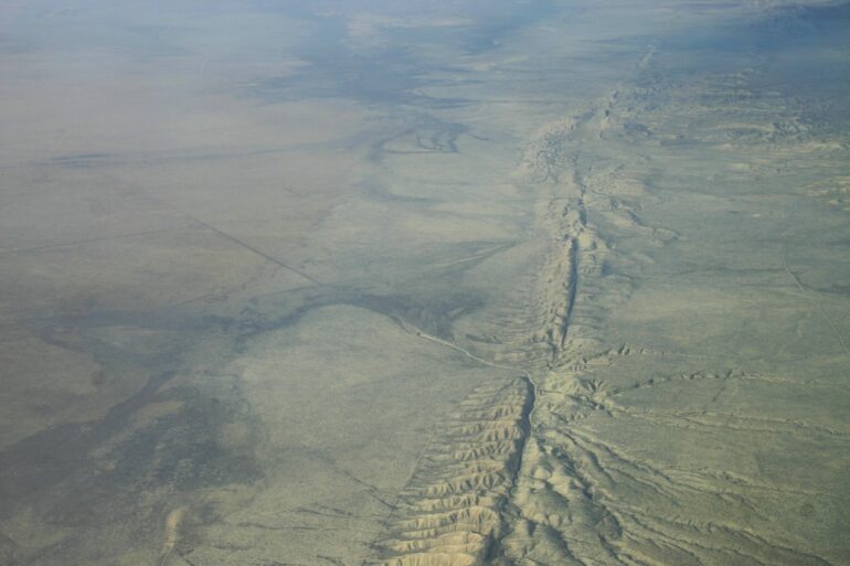
A major fault is often surrounded by a web of secondary faults created as the forces that cause slip deform nearby rocks. This damage zone can act as a record of fault activity, but what we can learn from it—such as how the fault may behave during future earthquakes—has not been fully explored.
In a new study, Alongi and others used multiple seismic reflection data sets to provide new insights into the offshore section of the Palos Verdes fault near Los Angeles, from the seafloor to about 400 meters below. The research is published in the journal AGU Advances.
With seismic reflection, researchers tow a sonar-like system behind a ship, sending out sound waves and recording when they return. This signal travels through water and into the seafloor and is reflected by the boundaries between different rock layers, including faults.
The strength of the returning signal and the amount of time it takes to come back provide information about the density contrast between layers and the depth of each boundary. The team used this information to produce about 100 images of the complex fault network.
The authors mapped about 30 kilometers of fault. In addition to validating that damage zones can be mapped in this way, their work shed light on factors that control damage zone formation and explained how these features might control earthquake rupture.
Fault offset, or the displacement between two sides of a fault, controls the width of the damage zone. But bends along the fault are what control how damage patterns vary along the length of the fault.
The authors also found that the most damaged areas of the fault allow the greatest amount of fluids to seep up from the seafloor, because areas with broken rocks are more permeable. Other factors such as sediment coverage and tectonic uplift also control the location of fluid seeps.
The presence of fluids and the degree of damage along a fault affect how earthquakes propagate, making these new data important for understanding seismic hazard in the region and elsewhere.
More information:
Travis Alongi et al, Characteristics of the Fault Damage Zone From High‐Resolution Seismic Imaging Along the Palos Verdes Fault, California, AGU Advances (2024). DOI: 10.1029/2023AV001155
Provided by
American Geophysical Union
This story is republished courtesy of Eos, hosted by the American Geophysical Union. Read the original storyhere.
Citation:
Imaging below the surface reveals one of Los Angeles’s webs of faults (2024, July 30)


