“For a long time now, a large number of [escaped slaves] have established themselves on lofty Maroon Hill in the mountains toward the west end of the island [of St. Croix]. … They are there protected by the impenetrable bush and by their own wariness.”
Those are the words of Christian Oldendorp, a Danish missionary who visited the Caribbean island of St. Croix in 1767. His account is one of the few Danish historical records of Maronberg, a community of escaped slaves, known as Maroons, in the northwest mountain ranges of the island.
In 1733, the Danish West India-Guinea Company purchased St. Croix from France and quickly expanded the island’s sugar and cotton production. This also meant expanding the slave population to harvest lucrative plantations. But the Danes were never able to fully control the island – or the enslaved. By the end of the 1700s, nearly 1,400 people – more than 10% of the enslaved population – successfully escaped captivity. But where did they escape to? Only recently have researchers started to shed more light on this centuries-old mystery.
As an archaeologist specializing in slavery and resistance, I’ve excavated plantations in the Americas and used geographic information systems to model Maroon escape routes by sea. Recently, I turned my attention to Maroon settlements on land, working with a team of archaeologists to locate Maronberg.
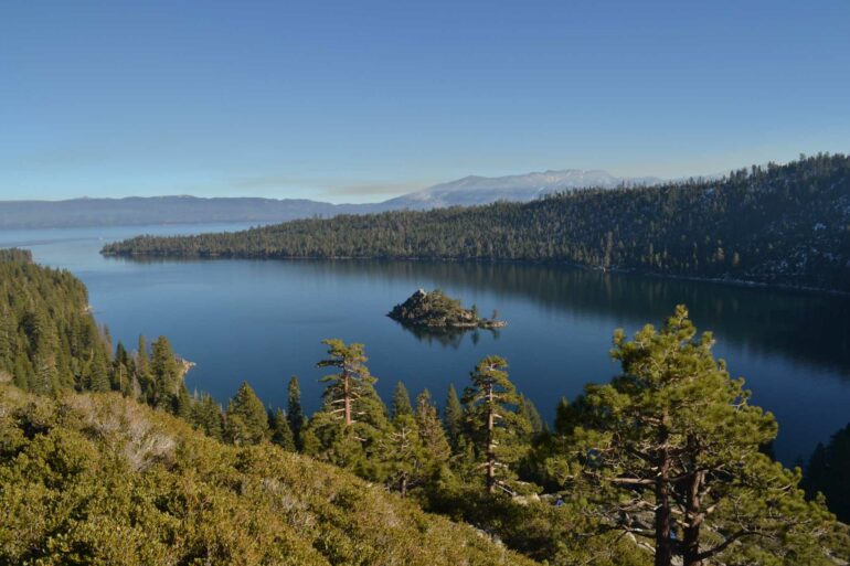
Maroon Ridge on St. Croix is believed to have been home to hundreds of escaped enslaved people from 1733-1848.
Justin Dunnavant, CC BY
Honoring a legacy
I first learned about Maronberg on a nature tour of St. Croix given by local activist and University of the Virgin Islands professor Olasee Davis in 2016. At that time, I was on the island to excavate a sugar plantation, a project that gave my colleagues and me a unique perspective on the enslaved experience in the Danish-controlled Caribbean.
In August 2025, Davis’ decades-long campaign to create an official heritage sanctuary to protect Maronberg finally came to fruition. The local government purchased 2,386 acres of land to serve as the U.S. Virgin Islands Maroon Territorial Park.
But one problem remains: We have yet to find the physical remains of the settlement. Locating and preserving Maronberg’s historical artifacts and buildings could provide new insight into residents’ way of life and give greater meaning to the sanctuary.

Fortunately, advanced computer modeling and high-resolution maps are helping us get closer to pinpointing the settlement.
Finding what was meant to remain hidden
Many Maroon settlements in the Americas have proved difficult to locate. This makes sense when you consider that their inhabitants were trying to hide from colonial settlers. If the Danes had found Maronberg, they would have either killed its inhabitants or forced them back into slavery.
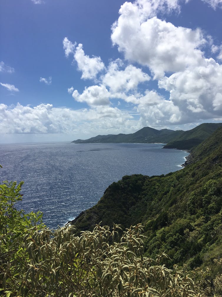
Runaways tended to settle in areas that were intentionally difficult to access, like…

