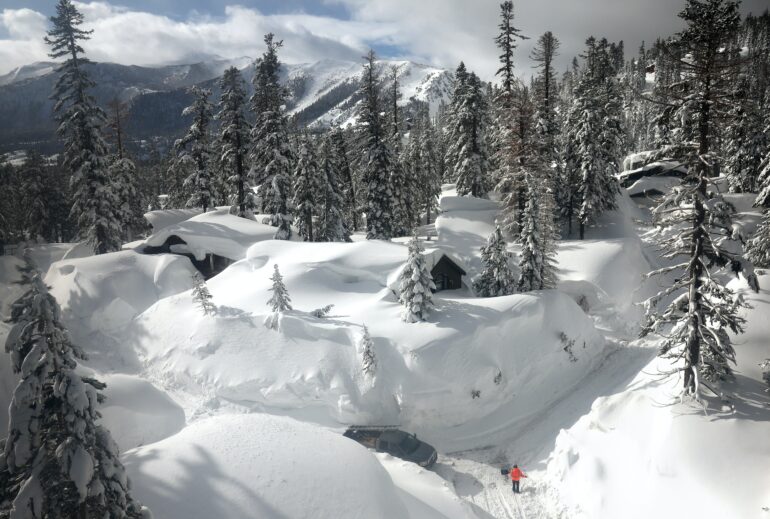
Another round of powerful atmospheric rivers is hitting California, following storms in January and February 2023 that dumped record amounts of snow. This time, the storms are warmer, and they are triggering flood warnings as they bring rain higher into the mountains – on top of the snowpack.
Professor Keith Musselman, who studies water and climate change at the University of Colorado’s Institute of Arctic and Alpine Research, explained the complex risks rain on snow creates and how they might change in a warming climate.
What happens when rain falls on snowpack?
For much of the United States, storms with heavy rainfall can coincide with seasonal snow cover. When that happens, the resulting runoff of water can be much greater than what is produced from rain or snowmelt alone. The combination has resulted in some of the nation’s most destructive and costly floods, including the 1996 Midwest floods and the 2017 flood that damaged California’s Oroville Dam.
Contrary to common belief, rainfall itself has limited energy to melt snow. Rather, it is the warm temperatures, strong winds and high humidity, which can transport substantial energy in the form of latent and sensible heat, that predominantly drive snowmelt during rain-on-snow events.
Snowpack has air spaces that water can move through. As the rain falls, the water can travel relatively rapidly through the snowpack’s layers to reach the underlying soil. How streams respond to that runoff depends on how much water is already flowing and how saturated the soil is.
When the soil isn’t yet saturated, it can dampen or delay a flood response by soaking up rain and melting snow. But when the ground is saturated, snowmelt combined with rain can lead to fast and devastating flooding.
One of the challenges for dealing with these rain-on-snow events is that the flood risk is hard to forecast.
To predict whether a flood will occur requires knowledge of weather and hydrological conditions. It requires knowing the soil moisture and snowpack conditions before the storm, the elevation at which rain transitions to snow, the rainfall rate, the wind speed, air temperature and humidity, and estimates of how those factors contribute to snowmelt. Additionally, each factor varies in time during a storm and varies in complex ways, especially across a mountainous landscape.

This is why rain-on-snow floods are characterized as compound extreme events. Despite the extensive damage they can cause, it may be surprising how little is known about how they vary in time, spatial extent and intensity.
California is getting another atmospheric river, with more rain on snow expected. How does the rain-on-snow effect differ by elevation in the mountains there?
In the California mountains right now, it’s the middle elevations that people need to pay attention to.
The lower elevations have primarily seen rainfall rather than snow, so there is less snowpack to melt. And in the highest elevations,…

