An international team led by McGill University researchers has devised a way to improve the accuracy of climate change models for the Global South by integrating historical records kept by missionaries and other visitors.
To show how it could be done, a cross-disciplinary team of researchers that included climate scientists, data analysts and a historian integrated data from 19th century missionary archives in Tanzania with current data for the region provided by climate modelers. They devised a way to quantify the historical records, which tended to be anecdotal as opposed to scientifically recorded.
The result was to provide a longer record of climate change in the region than had previously been available, which has the capacity to enhance the accuracy of climate change models. Their work was published recently in Climate of the Past.
“The general scientific neglect of the Global South is only now starting to be gradually corrected by institutions in these regions,” explained Philip Gooding, a researcher at McGill’s Indian Ocean World Centre and the lead author of the study. “Tanzania is typical of many tropical regions in the Global South, in that evidence of climatic changes before the mid-20th century has yet to be gathered or analyzed.
“This is partly because climate change research is often more difficult in such regions. For example, it is difficult to conduct tree ring analysis in tropical regions because many tropical species do not provide annual rings, or they respond differently to climate variability. Meanwhile, analysis of lake sediments suggests multi-decadal trends, rather than annual or seasonal climatic conditions.”
So, he said, researchers looked to historical documents.
Missionaries and explorers track changing patterns of rainfall and drought
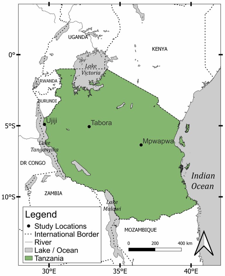
The researchers looked at historical climate records for the towns of Ujiji, Tabora and Mpwapwa in central Tanzania between 1856–1890. All are at a similar latitude, with rainy seasons of similar duration and in similar months.
European “explorers” and early imperialists passed through the region from the late 1850s. They noted their observations about the weather and gathered information about previous seasons and years from local people. Representatives of various missionary societies based in Europe came to stay for longer periods from the 1870s. Their records provide a more consistent and reliable source of information, according to the researchers.

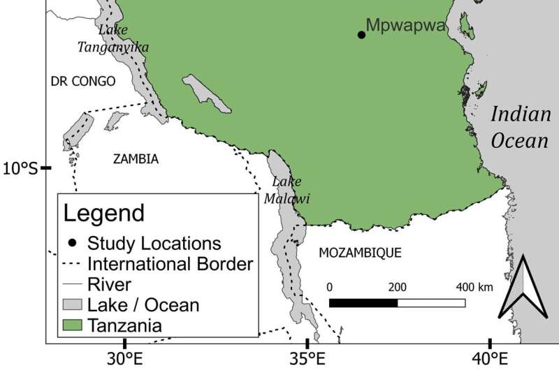
Map showing locations of three case study regions, Mpwapwa, Tabora, and Ujiji in inland Tanzania. The base map is taken from Wessel and Smith (1996). The shapefile for the green area marked as Tanzania is taken from Tanzania National Bureau of Statistics, UN OCHA ROSA (https://data.humdata.org/dataset/cod-ab-tza, last access: 2 December 2024). © Climate of the Past (2024). DOI: 10.5194/cp-20-2701-2024
A record of rainfall patterns over a 30-year period in the 19th century
Although their letters and diaries varied greatly in terms of what was noted, the Europeans were interested in documenting climate conditions, including variability in rain, periods of drought, floods and harvests, as well as the conditions of pastures and fields.
The information is sufficient, for the period from 1856 to 1890, to provide a picture of climate trends over the long term, especially when combined and integrated with modeled data.
Information with a complicated origin and legacy
The researchers are conscious the origin of the historical data is problematic and carries with it a complicated legacy.
Discover the latest in science, tech, and space with over 100,000 subscribers who rely on Phys.org for daily insights.
Sign up for our free newsletter and get updates on breakthroughs,
innovations, and research that matter—daily or weekly.
“Missionary accounts of the hardships of droughts acted as one of the justifications for European intervention in African affairs, in ways that failed to increase drought resiliency. It was a heavily racialized, and problematic discourse that infantilized and brutalized those who soon became colonized peoples,” Gooding said.
However, integrating this data into climate models stands to improve their accuracy, he said. He believes the methodology developed in his study can be applied more broadly in the Global South.
“Using climate model data alone is rather uncertain due to a lack of verification with observations over this region,” said Melissa Lazenby, a climatologist from the University of Sussex and co-author of the article.
“By adding and integrating the documentary data to the climate modeling data, this research provides a more robust and credible picture of what happened in such regions in the past. This therefore helps verify climate models over this data-sparse region and can help in providing more accurate and credible future projections.”
More information:
Philip Gooding et al, Documents, reanalysis, and global circulation models: a new method for reconstructing historical climate focusing on present-day inland Tanzania, 1856–1890, Climate of the Past (2024). DOI: 10.5194/cp-20-2701-2024
Citation:
Integrating historical data stands to improve climate models in the Global South (2025, January 7)


