East Africa’s iconic rangelands—under threat from climate change and human activity—have the potential to recover from repeated environmental shocks and degradation, a new study has concluded.
Covering 47% of the Earth’s land surface, rangelands are home to one third of the global population, many of whom are pastoralists who depend on the savannahs to meet their daily need for shelter, water and food.
But because rangelands develop in semi-arid areas and are primarily used for grazing, they are highly vulnerable to changes in rainfall and human pressures.
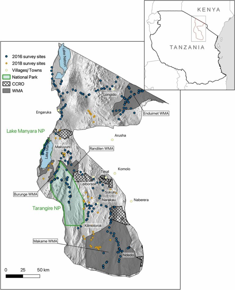
As part of the study, published in Scientific Reports, scientists combined field data on vegetation with high-resolution satellite images gathered over the last two decades to identify the drivers of degradation within the Northern Tanzanian rangelands.
The study found evidence that sites that are currently degraded are more sensitive to environmental shocks such as drought, but retain their recovery potential. This means that the most degraded sites today were impacted more during shock events, and didn’t have time to fully recover before the next shock occurred.
The ability for the savannah to recover quickly from year to year has long been at the core of traditional management of these rangelands: heavy use over a few years could lead to severe local degradation, but nomadic people moved away for a few years allowing natural recovery.
Today, such movements are increasingly restricted by fragmentation of rangelands, mainly through increasing agriculture, rendering it necessary for pastoralists to remain in what may otherwise have been only temporarily degraded sites, resulting in declining grassland productivity and increased degradation.
However, the authors of the study say all is not lost and recovery is still possible.
Senior author, Dr. Colin Beale, from the University of York;s Department of Biology and who supervised the research project said, “The results show that the ability of these sites to recover if effectively managed is undiminished, with responsible community management being the key if degradation is to be reduced.
“That is a really positive message—the results show that recovery is still there. That actually we can restore and recover these areas if we can give them a break and work out why they are doing worse during those extreme events.”
First author, Ph.D. student Joris Wiethase from the University of York’s Leverhulme Center for Anthropocene Biodiversity, added: “Our results point to climate change and societal changes as the main drivers of degradation, with rainfall more unpredictable, droughts longer and the differences between years more extreme.”
“If we are to effectively combat degradation within rangelands, it is important that we understand the drivers of mechanisms by which degradation occurs.”
Boniface Osujaki, one of the local Maasai co-authors, said, “I have first-hand experience of the impacts of climate change and human pressure on our rangelands.

“The opportunity from this work for successful restoration and rangeland regeneration is really encouraging for the future of the pastoralist Maasai culture.”
The study combined on the ground fieldwork with machine learning and sophisticated statistical models to analyze 20 years of satellite data from Northern Tanzania. Working with a team from Tanzania, results could be checked against local community experience.
More information:
Wiethase, J.H., Critchlow, R., Foley, C. et al. Pathways of degradation in rangelands in Northern Tanzania show their loss of resistance, but potential for recovery. Scientific Reports 13, 2417 (2023). doi.org/10.1038/s41598-023-29358-6 , www.nature.com/articles/s41598-023-29358-6
Provided by
University of York
Citation:
Scientists use satellite images to study the degradation of rangelands in Tanzania (2023, February 22)

