Researchers looking to identify some of the most difficult “finds” in archeology—including sites used by nomadic hunter-gatherer communities—are tapping technology to help in the search.
Archeologists at the Max Planck Institute and Simon Fraser University are gaining new insights from a computer predictive model that can assess the likelihood that landscapes contain such well-sought sites. Their work is newly published in the journal PLOS One.
“Preserving archeological sites from destruction ensures that history is not lost and is especially important for communities that did not use written records; but before sites can be protected and studied, they must first be found,” says SFU archeology Ph.D. student Rob Rondeau and interim director of SFU’s Museum of Archeology and Ethnology.
Chris Carleton, now of the Max Planck Institute for Chemical Ecology developed the Locally-Adaptive Model of Archeological Potential (LAMAP), a predictive model that considers distributions of values for landscape variables around known sites.
LAMAP uses information from the landscape data to estimate the archeological potential of land that has not been examined by archeologists. Carleton successfully demonstrated the method on large, permanently occupied sites in Belize and Turkey.
Rondeau, an experienced underwater archeologist, connected with Carleton at the suggestion of SFU archeology professor Mark Collard, who supervised Carleton while he was a Ph.D. student and SFU post-doctoral fellow.
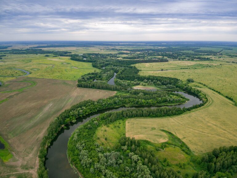
Rondeau’s interest is finding ancient sites on submerged landscapes off the B.C. coast—those occupied when sea levels were much lower than today. Their collaboration will play a major role in helping him to identify underwater the campsites of hunter-gatherers in the distant past.
Carleton and Rondeau tested LAMAP on the Tanana Valley in Alaska—with its rich record of hunter-gatherer sites stretching back to the last Ice Age, 14,500 years ago. They “trained” the model with data about the landscape around 90 known sites, randomly selected from the State of Alaska’s Heritage Database.
The pair predicted which parts of the landscape had the highest potential for producing more sites, and then returned to the database to evaluate their predictions. Areas that LAMAP identified as high potential proved to contain many of the remaining sites in the database, confirming that LAMAP was able to predict preferred campsite areas that may have been occupied by hunter-gatherers only for a few days or weeks.
Significant computing power was needed to undertake the systematic comparison of millions of data points from the 7,000-square-kilometrere study area. Rondeau traveled to Alaska in 2019 to experience the landscape and will next apply what has been learned to the deep waters off the B.C. coast.
More information:
Rob Rondeau et al, Does the Locally-Adaptive Model of Archaeological Potential (LAMAP) work for hunter-gatherer sites? A test using data from the Tanana Valley, Alaska, PLOS ONE (2022). DOI: 10.1371/journal.pone.0265597
Provided by
Simon Fraser University
Citation:
New computer predictive model is useful in identifying ancient hunter-gatherer sites (2022, March 17)

