An out of this world collaboration aims to bring farming to the space age. NASA is teaming up with a company called CropX to leverage its satellites in the fight for food security and sustainability.
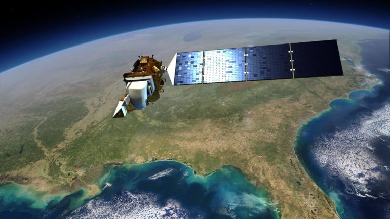
NASA has long had a unique vantage on the world thanks to its constellation of Earth-observing satellites. Satellite imagery, which is invaluable for tracking changes to the earth over time and giving a snapshot of things like crop health and distribution, has helped scientists make important observations about climate and farming practices. Via a program known as NASA Harvest, the space agency has been working to leverage its insights for food security and sustainable agriculture.
In that task, the agency is now supported by CropX, a company that specializes in soil analytics for agriculture via its proprietary soil sensor technology and cloud-based Ag analytics that integrate with irrigation systems. Utilizing CropX’s soil data monitoring and NASA’s network of Earth-observing satellites, NASA Harvest believes it can deliver critical insights to governments and farmers around the globe.
“Soil health and nutrient management is at the very root of food security and sustainable agriculture concerns – an accurate understanding of what is actually happening underneath the ground is essential,” says Nadav Liebermann, CTO of CropX. “Satellite imagery has long been an integral part of CropX algorithms, and ourpartnership with NASA Harvest will deliver valuable agronomic insights by connecting critical data at different depths underground and from an expansive network of satellites in space. We are looking forward to working with the NASA Harvest team to improve farming decision-making worldwide – in both developed and undeveloped regions.”
The collaboration rides a wave of new techniques known collectively as “precision agriculture” or “agricultural intelligence.” We’ve previously covered the efforts of companies like Taranis, which uses computer vision in a novel weed identification system that combines satellite and drone imagery and AI to tell farmers what kinds of weeds are attacking their crops in real time, empowering the farmers to fight back.
This technological intervention is important because the stakes are growing. Worldwide, farmers lose about $750B from crop loss each year. About a third of all food grown is lost. For decades the solution has been heavy herbicide and fertilizer use, but there are mounting concerns about the sustainability of current industrial-scale farming practices.

That’s where smart analytics, like the type used in the NASA and CropX partnership, come in. So far the partnership has begun with tests in Arizona alfalfa fields. The pilot program will quickly establish the parameters for water usage estimates, yield prediction, soil quality and land usage assessments based on multiple crop growing cycles.
“We are in a constant race to produce and supply enough food in order to feed a rapidly growing global population, with finite land and natural resources. NASA Harvest is dedicated to collaborating with top innovators to make the best possible use of our agricultural land; CropX unites our space-led vision with on-farm intelligence and results,” says Dr. Inbal Becker-Reshef, program director of NASA Harvest. “We were impressed by the accuracy and reliability with which the CropX soil monitoring platform was able to both pinpoint various soil health and environmental challenges, as well as determine opportunities for water, energy and nutrient conservation. CropX offers the advanced tools and global farm footprint needed to understand and improve soil health and water quality tied to farming ecosystems around the world. Paired with satellite data, this provides the opportunity to scale these insights in support of farmer productivity and more effective use of available resources.”

