As a deadly tornado headed toward Rolling Fork, Mississippi, on March 24, 2023, forecasters saw the storm developing on radar and issued a rare “tornado emergency” warning. NOAA’s Weather Prediction and Storm Prediction centers had been warning for several days about the risk of severe weather in the region. But while forecasters can see the signs of potential tornadoes in advance, forecasting when and where tornadoes will form is still extremely difficult.
We asked Chris Nowotarski, an atmospheric scientist who works on severe thunderstorm computer modeling, to explain why – and how forecast technology is improving.
Why are tornadoes still so difficult to forecast?
Meteorologists have gotten a lot better at forecasting the conditions that make tornadoes more likely. But predicting exactly which thunderstorms will produce a tornado and when is harder, and that’s where a lot of severe weather research is focused today.
Often, you’ll have a line of thunderstorms in an environment that looks favorable for tornadoes, and one storm might produce a tornado but the others don’t.
The differences between them could be due to small differences in meteorological variables, such as temperature. Even changes in the land surface conditions – fields, forested regions or urban environments – could affect whether a tornado forms. These small changes in the storm environment can have large impacts on the processes within storms that can make or break a tornado.
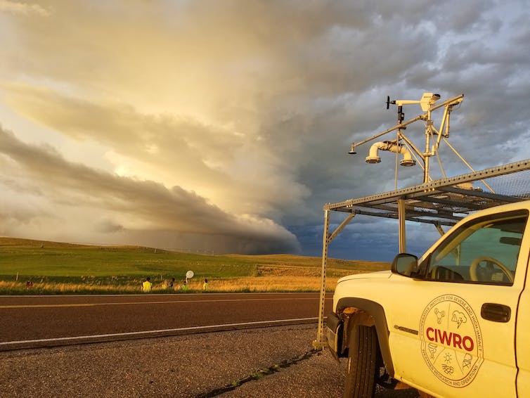
One way scientists gather data for understanding tornadoes is by chasing storms.
Annette Price/CIWRO, CC BY
One of the strongest predictors of whether a thunderstorm produces a tornado relates to vertical wind shear, which is how the wind changes direction or speed with height in the atmosphere.
How wind shear interacts with rain-cooled air within storms, which we call “outflow,” and how much precipitation evaporates can influence whether a tornado forms. If you’ve ever been in a thunderstorm, you know that right before it starts to rain, you often get a gust of cold air surging out from the storm. The characteristics of that cold air outflow are important to whether a tornado can form, because tornadoes typically form in that cooler portion of the storm.

How far in advance can you know if a tornado is likely to be large and powerful?
It’s complicated. Radar is still our biggest tool for determining when to issue a tornado warning – meaning a tornado is imminent in the area and people should seek shelter.
The vast majority of violent tornadoes form from supercells, thunderstorms with a deep rotating updraft, called a “mesocyclone.” Vertical wind shear can enable the midlevels of the storm to rotate, and upward suction from this mesocyclone can intensify the rotation within the storm’s outflow into a tornado.
If you have a supercell and it has strong rotation above the ground, that’s often a precursor to a…

