Google has announced it will roll out additional features designed to help travellers keep updated about the latest COVID-19 cases and public transport passenger occupancy.
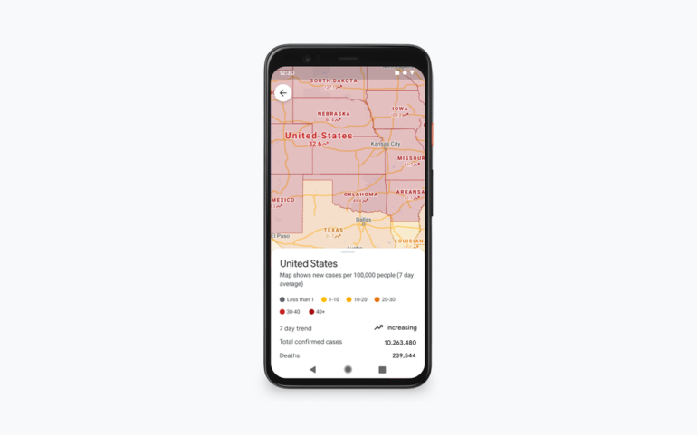
In the updated COVID layer of Google Maps on Android and iOS, travellers will be able to view all-time detected cases in an area, along with links to COVID-19 resources from local authorities.
“This is especially handy if you’re heading out of town and need to get up to speed about the local guidelines, testing sites and restrictions in another city,” Google Maps product VP Dane Glasgow wrote in a blog post.
The updated version of the Google Maps COVID layer will also include details about real-time passenger capacity so commuters travelling by bus, train, or subway lines will know whether there is space to maintain physical distancing from others while travelling.
According to Glasgow, the feature, which will be available globally on Android and iOS, is based on real-time feedback from Google Map users.
This feature looks to build on transit features introduced back in June that informed commuters about whether their travel would be affected by any COVID-19 restrictions, such as the requirement to wear a mask on public transport as well as how crowded a station would be at a certain time.
See also: Google Maps turns 15: A look back on where it all began
“Creating a map is hard — what’s even harder is keeping it continuously updated… but that’s also what makes a map useful these days, and what our users expect. We are on a never-ending quest to understand and organise the endless information in the physical world, as it happens,” Glasgow said.

“This is an exciting and incredibly challenging feat in normal times. Add to that the volume and scale of change we’ve seen during COVID, and there has never been a more exciting — and important — time for us to be focused on this mapping challenge. Since the start of the pandemic, we’ve added nearly 250 new features and improvements to Google Maps to help users adapt to this new normal.”
In addition, Google will be rolling out a feature for users to see the live status of takeout and delivery orders in the US, Canada, Germany, Australia, Brazil, and India when the service is booked and ordered through Google Maps. It will detail wait times, delivery fees, and the chance to re-order favourites.
Glasgow also said there were plans to extend this to allow diners to see the status of the reservations in 70 countries “when it’s safe to head to restaurants”.
Google also announced that it has started rolling out an early preview of Google Assistant driving mode in Maps to Android users based in the US. The mode will initially only be available in English and allows users to use voice to send and receive calls and texts, review new messages across messaging apps, have texts be read out, be alerted when there is an incoming call, and have the option to answer or decline with voice. Drivers will also be able to use voice to request media to be played, including YouTube Music, Spotify, and Google Podcasts.

