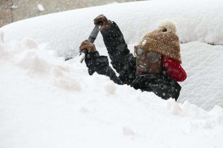
It’s hard for most people to imagine 6 feet of snow in one storm, like the Buffalo area saw over the weekend, but such extreme snowfall events occasionally happen along the eastern edges of the Great Lakes.
The phenomenon is called “lake-effect snow,” and the lakes play a crucial role.
It starts with cold, dry air from Canada. As the bitter cold air sweeps across the relatively warmer Great Lakes, it sucks up more and more moisture that falls as snow.
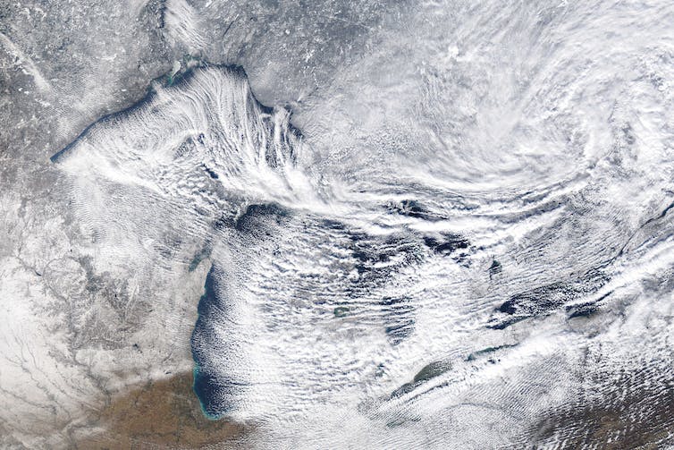
Canadian winds pick up moisture over the Great Lakes, turning it into heavy snowfall on the far shore.
NOAA
I’m a climate scientist at UMass Amherst. In the Climate Dynamics course I teach, students often ask how cold, dry air can lead to heavy snowfall. Here’s how that happens.
How dry air turns into snowstorms
Lake-effect snow is strongly influenced by the differences between the amount of heat and moisture at the lake surface and in the air a few thousand feet above it.
A big contrast creates conditions that help to suck water up from the lake, and thus more snowfall. A difference of 25 degrees Fahrenheit (14 Celsius) or more creates an environment that can fuel heavy snows. This often happens in late fall, when lake water is still warm from summer and cold air starts sweeping down from Canada. More moderate lake-effect snows occur every fall under less extreme thermal contrasts.
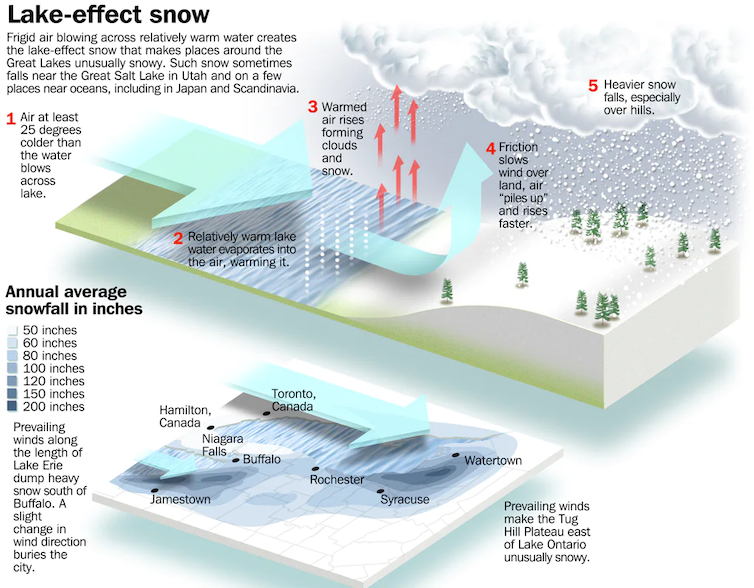
How lake-effect snow works and why western New York get such powerful storms.
Image from ‘The AMS Weather Book’ by Jack Williams. 2009 by the American Meteorological Society. Used with permission.
The wind’s path over the lakes is important. The farther cold air travels over the lake surface, the more moisture is evaporated from the lake. A long “fetch” – the distance over water – often results in more lake-effect snow than a shorter one.
Imagine a wind out of the west that is perfectly aligned so it blows over the entire 241-mile length of Lake Erie. That’s close to what Buffalo was experiencing during the storm that started Nov. 17, 2022.

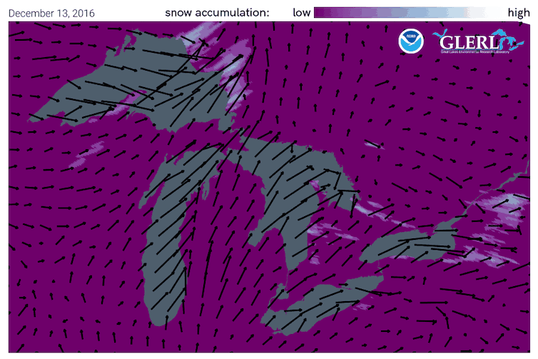
Wind directions from a storm in 2016 show how lake-effect snow piles up.
NOAA
Once the snow reaches land, elevation contributes an additional effect. Land that slopes up from the lake increases lift in the atmosphere, enhancing snowfall rates. This mechanism is termed “orographic effect.” The Tug Hill plateau, located between Lake Ontario and the Adirondacks in western New York, is well known for its impressive snowfall totals.
In a typical year, annual snowfall in the “lee,” or downwind, of the Great Lakes approaches 200 inches in some places.
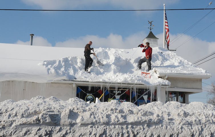
Residents in places like Buffalo are keenly aware of the phenomenon. In 2014, some parts of the region received upwards of 6 feet of snowfall during an epic lake-effect event Nov. 17-19. The weight of the snow collapsed hundreds of roofs and led to over a dozen deaths.
…

